Wednesday, May 25, 2011

Middle Fork Eel River

I'm going to keep this post short, because it is so sweet!  Looking down the Black Butte River at put-in.


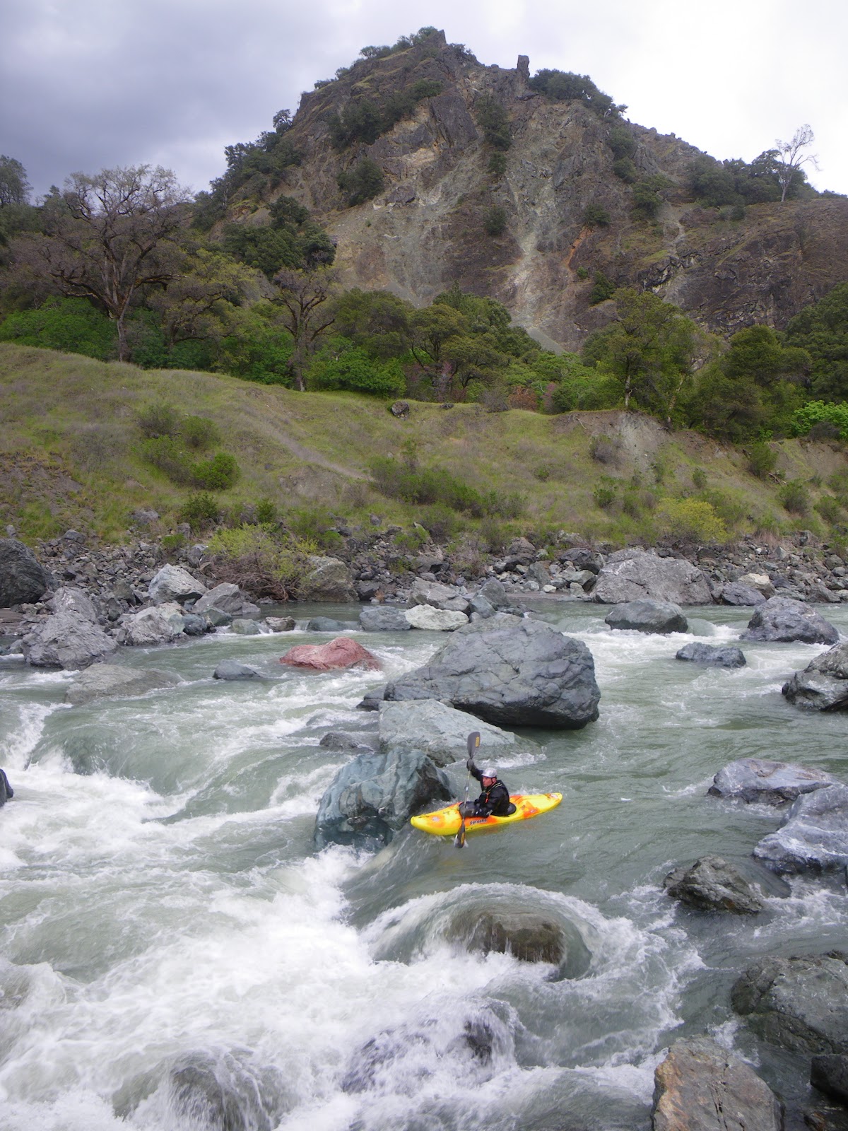
The Middle Eel was way above my expectations for quality and way below my expectations for work.  Easy shuttle, tons of wildlife, nobody there...how can you go wrong.  On the water.


All you gotta do is find the right people to go with and it'll be flowing for a little while longer.


The first 20 miles there are way more class II drops than I was expecting, the river keeps up a good pace (at 1500 cfs) and had much less flatwater than I was expecting.


We had lunch at about mile 13, after only 3 hours on the water


Things start to mellow with longer pools for awhile, but the rapids start getting larger.  You arrive at the Skinny Chutes around mile 25, and this is where I got schooled.  I tried boat scouting into the drop, and with the ferry angle I chose, allowed a diagonal wave to completely grab the cataraft, shoving me left into a boat-catching eddy that I had fully neglected to appreciate on my hurried boat-scout.  A few minutes of swirling around and cursing, missing my ferry angle and being shoved back into the eddy by the pillow ensued.  I gave my passenger the high-side talk, mentioned the possibility of a swim, and proceeded to make my way out of the eddy.  This left me boat-scouting the second half of the drop, which fortunately had a good line left of center.  Whoop Whoop!  Then some beautiful Scenery.


Here is the view of Coal Mine Falls' First Crux Drop


We arrived at Coal-Mine Falls downstream, and took a lunchbreak in the only non poison-oaked shade we could find.  This rapid is completely hyped and is the reason many people haven't paddled this run.  However it is a full-on class IV+ drop, with consequence.  It had a line, but after my shaky experience upstream, my confidence was rattled, and the lack of safety convinced me that lining the cat down the right channel would be the way to go.  I made the entrance  move, catching the eddy right at the lip where Laura grabbed the boat...I removed the oars and tied on a rope.  Then, before you knew it, 5 minutes later the boat was at the "bottom" and we were ready to roll again.


It turns out there is a whole other part of the drop downstream which I knew about, although the eddy I was hoping for turned out to be of insufficient size for the cataraft.  Several scrambling moments later the line appeared to me in a boat-scouting vision of creative splendor and I managed to luckily pop through clean as a whistle.  Another big Whoop!  Here is looking back up at the exit to Coal-Mine Falls.


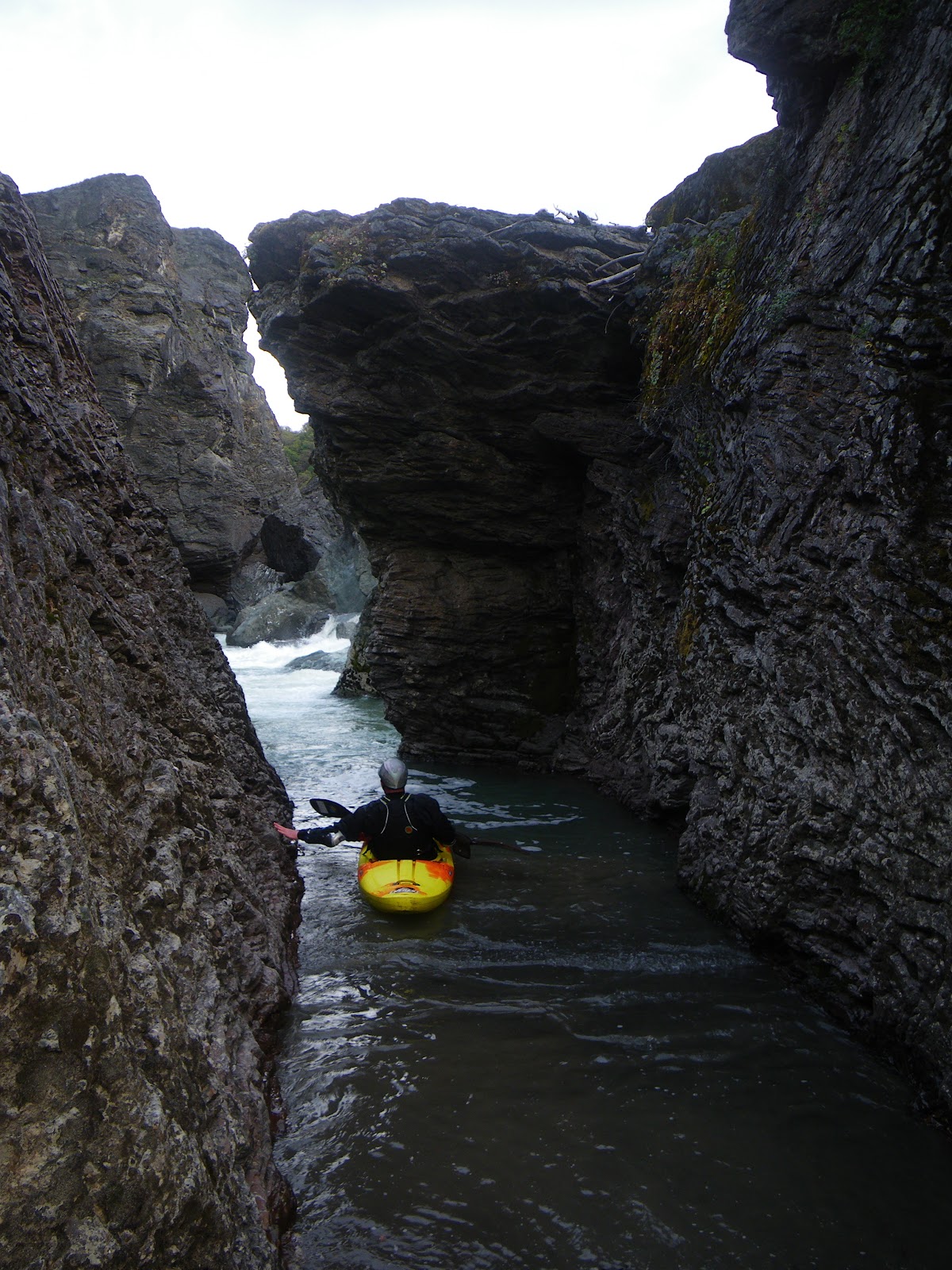
The rest of the river flows through a beautiful canyon, I'd say in summary that it gets better as you go, and at no point is it bad, in fact it is beautiful.  The miles came easily and we camped at mile 17.5 where we should have.

Black Butte Store at put-in #707-983-9438 runs shuttles for only $50, call them and get on this run that you've been putting off for way too long.  We saw 5 bears, 2 bald eagles, 50 deer, cormorant, ducks, wild horses, green heron, and not one person.  Nuff said!  

Monday, May 16, 2011

North Fork Eel River, Day Two


We awoke to an early sunrise and had a relaxing morning before disembarking from camp.  It was a warm night, and we awoke without even dew on our sleeping bags.  I reckon we camped somewhere about the Round Valley Indian Reservation, as we were now also in Mendocino County.  During the leisurely morning, we spotted a bear descending the hillside across from our camp to a spot where vultures were circling.  Cowpies littered the grassy flat where we camped and some were decorated with these funny looking mushrooms...


The next 6 miles to the Mina Road Bridge were fun class III, and though the flows had dropped a little they weren't significantly lower.  It felt good to get back on the water.


One of the highlights was the Rainbow Wall, a chert formation unlike any other rock and undoubtedly the most colorful rock I've ever seen.  We took a break here to admire the monolithic masterpiece.


We paddled underneath the bridge, and into the undescribed Split Rock section.  For a class III-IV paddler, a two-day trip to Mina Road Bridge would make an excellent run with an easy shuttle, but continuing downstream definitely puts you into a committing class V section for several miles as the North Fork descends to its confluence with the main Eel.


Split Rock was first descended by a group containing Bill Cross, and the only information we were able to gather regarding the section was that it "wasn't worth doing ever again", and "it wasn't that bad", but the group did a long one-day descent, taking out all the way down in Alderpoint.  This didn't leave us much to go with, and after scoping the river on Google Earth, I thought it looked bad-ass.  So as we paddled downstream from Mina Road, our mood was optimistic and cautious.  The old Mina Road Bridge eerily awaited us around the first bend.


After a couple of easy miles we reached a pair of rapids that dropped us toward the gorge, where the river takes a 90 degree left hand bend.


One more boat-scoutable rapid brought us to the crux of the gorge where we elected to carry a stout class V+ drop.  The portage was across a fresh, and loose landslide and was less than relaxing to say the least.


From here we had to ferry across the river to get a scout at the next rapid, and get a view downstream around the bend.


Stoked to find that the next two drops had good lines, Warner proceeded to fire them up.


Before we left the canyon, it was time for a lunch break.  Chilling in the gorge was a powerful experience, and just as we were leaving a mist-storm blew down the canyon.


The rain was visibly falling, but seemed to be evaporating before even reaching the ground...before we knew it the sun came out and the fun rapids continued.


Looking Back up at Split Rock Canyon


Downstream of Split Rock, the river eases for awhile, though fun rapids continue.  


Eventually the river's character became more intimidating as the gradient steepened with many large boulders that made for difficult boat-scouting.

 Being off-line wasn't an option as many places had hidden sieves and undercuts, some even clogged with wood.  We continued downstream and were able to run most of the whitewater, although it was slow going.


John Warner--On Line


Two major portages came after a bit, one that we carried on the right, through a hole in the  rock and into a back channel pool of schmeg water.


The second portage could have gone, but we chose to carry on the left, and after completing it, realized that the second half of the rapid was completely sieved out.


We then had to carry up and over a ridge, where simply portaging up and over on the right bank would've saved the time and energy...these are the types of problems that arise due to the lack of visibility between large boulders.


 Looking Back Upstream


 Cool Sedimentary rocks


All of the scouting and portaging had burned up quite a bit of our daylight hours, and exhaustion led me to suggest looking for a campspot, even though we had hoped to make the main Eel confluence.  After charging through a sweet drop, we got fired up that we might be close, but then reached another gradient section and decided to call it a day.  We were able to take a sweet hike and scope out the "Breakfast Rapids" for our final day on the water and a sweet sunset.

Saturday, April 30, 2011

North Fork Eel River, Day One

This river has flown under the radar for way too long.  I was completely surprised to find paved access (and plowed) all the way to an easy put-in that provides access to perhaps one of the best class III-IV wilderness overnighters in California.  Dick Schwind gave this run an extremely high acclaim in his West Coast River Touring Guidebook, touting it as "one of the best sections of whitewater in Northern California"...given this and my need to get on new and unknown runs and a plan was hatched.  Deciding on a 3-day trip continuing the whole length of the North Fork and into the final 24 miles on the Dos Rios to Alderpoint section we wanted to maximize the paddling to driving ratio.  The North Fork flows south and into Mendocino County before turning west, flowing into the Eel River in Trinity County again, then passing us into Humboldt County just before our take-out--Thusly we travelled via. boat through the heart of the "Emerald Triangle" in country as unknown and unexplored as anywhere. 

Here is the Beautiful Kettenpom Valley on our Drive to Put-In.  Snowy South Fork Mountain is visible in the background.


Salt Creek looking downstream from the put-in bridge.  Access doesn't get any easier than this!


On the water, we did the bump and scrape for less than half a mile to the confluence with the North Fork Eel.  We portaged twice in here, once at a rapid that drops into a narrow chute and another at a sieved-out drop.  There are lots of willows to paddle through too.


 Confluence with the North Eel


The Douglas Wallflower, named after David Douglas an early Botanist.  The natives left him alone thinking he was crazy because he collected and dried plants of little use.


During the first 8 miles of the trip, you are in the North Fork Wilderness, which provides plenty of beautiful, steep and craggy scenery.


Several miles into the run you start to feel the river picking up gradient. 


Immediately you arrive at the first big drop, with a sinister log making this a class V drop…make a mistake and you're going into the log.  A sneak line existed on the right and portage route on the left.  


Here is Warner finishing off the sweet drop.


Soon thereafter we arrived at the larger and longer drop we decided to dub the Emerald Triangle.  It was a little chunky but made for a great piece of whitewater to get us fired up, not to mention the beautiful scenery and blue skies.  


 Warner scouts the Triangle.


Running the tricky entrance drop, and avoiding the sieves.


Making the move left


After the steep canyon section, the river settles into a nice pace of class III rapids that although not the "best in the state" was purdy darn nice!


After 12 miles of paddling we'd arrived at the confluence of Hulls Creek, a major tributary on the left that drains from the Yolla-Bolly wilderness.  As such it has a higher drainage and was contributing significantly to the flow.


 At this point you have passed through the North Fork Wilderness and are now within private Ranch inholdings along the right bank, and the Round Valley Indian Reservation on the left.  It was time for us to start looking for a place to camp.


This wasn't hard, as many large sweet campsites existed.  The trouble was picking the right one.  I think we did pretty good though.


 The trippy clouds are the result of a low-pressure system moving into the area.  We hoped to have two dry nights of camping, but were expecting rain during our last day of paddling out the Main Eel.  


Me and Warner talked about the Split Rock Canyon downstream, which had only been paddled once during the 80's.  The crew that did it consisted of Bill Cross, I believe, and some other boaters, and no details of the run existed except that they had said "It wasn't that bad", and "It wasn't worth doing again because it was such a long day including the float out on the main Eel.  But the serious lack of details meant it was exploratory.  We rested well after the beautiful sunset.